01 Nine routes
Public Works splits the city into nine plow routes. About 150 miles of streets. About 270 cul-de-sacs. Crews typically roll between 1 and 4 a.m.
During snow of 2 inches or more, the city asks vehicles off-street so the pass can reach the curb. A car in the bulb of a cul-de-sac costs the whole route time.
From November 1 through April 1, no parking on city streets in that window — snow or not. That is the overnight lane the nine routes use.
Pine Bend Bluffs SNA holds river-bluff land. Rolling countryside west of the Mississippi is not a flat first-ring grid. Private drives on those grades hold ice.
The Twin Cities climate figure we use is 51.2 inches a year at Minneapolis–St. Paul International Airport (MSP / NCEI station USW00014922), the 1991–2020 NOAA climate normal — the same number the Minnesota DNR State Climatology Office publishes. That is the airport station, not a city-by-city total.
02 Dakota County, river side
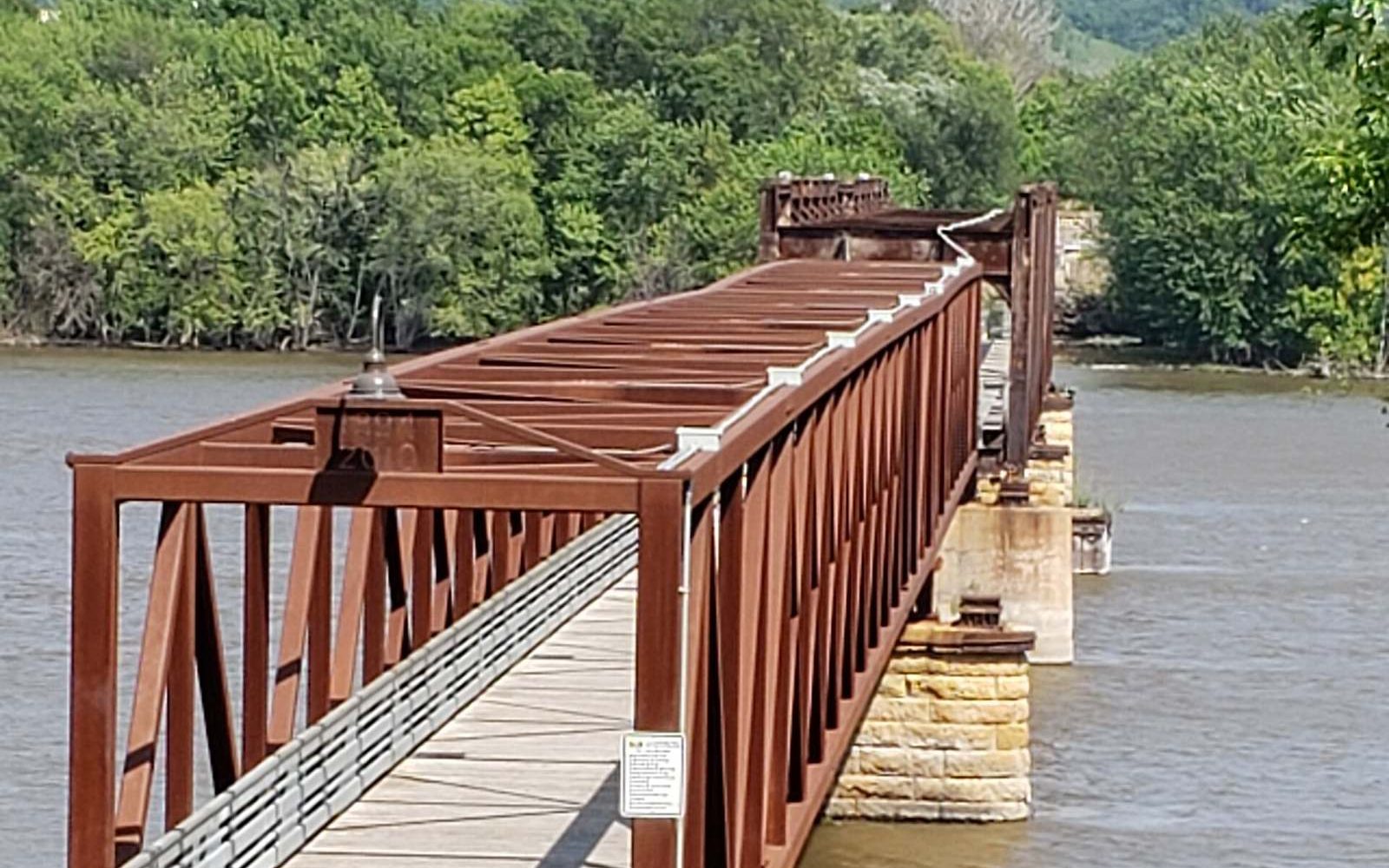
Census 2020: 35,801 people on 27.85 square miles of land, density 1,285.3. The city sits about 9 miles southeast of Saint Paul. I-494, US 52, MN 55, and MN 3 cut the map. The former Rock Island Swing Bridge is a river park now. Suburban neighborhoods mix with larger lots — the opposite of an alley city.
Sidewalks have a hard clock. Snow and ice left on a public sidewalk more than 24 hours after precipitation stops is a public nuisance. The adjacent owner keeps the walk safe unless the city’s winter-maintenance policy already covers it. The city may abate and bill. Code: sidewalk snow and ice. Street policy: winter street maintenance.
03 What we plow here
Plow MN is licensed and insured. We plow residential driveways and walkways and commercial lots in Inver Grove Heights, seasonal or per-plow. We do not run the nine public routes. We run the private surface that is still closed after the overnight parking ban has given those routes the lane.
The city is split into nine plow routes — about 150 miles of streets and 270 cul-de-sacs. Crews typically start between 1 and 4 a.m. A pass often takes 7–10 hours. Lower density and river bluffs make that clock different from an inner-ring grid.
Winter parking: no parking on city streets from 3 a.m. to 6 a.m., November 1 through April 1. During snow of 2 inches or more, the city asks vehicles off-street so crews can plow curb to curb. Police post the 3–6 a.m. rule; Public Works posts winter street maintenance.
City Code: snow and ice remaining on a public sidewalk more than 24 hours after precipitation ceases is a public nuisance. The adjacent property owner must keep sidewalks safe except where the city winter-maintenance policy already covers that walk. The city may abate and bill the owner. See the code text.
The city sits about 9 miles southeast of Saint Paul, west of the river. Neighbors include South St. Paul, West St. Paul, Sunfish Lake, Eagan, Newport, and St. Paul Park. Wikipedia describes rolling countryside west of the Mississippi; I-494, US 52, MN 55, and MN 3. Pine Bend Bluffs SNA preserves river-bluff land. Former Rock Island Swing Bridge is now a river park. Mix of suburban neighborhoods and larger lots.
Census 2020: 35,801 people, 27.85 square miles of land, density 1,285.3 — well below first-ring cities. That is why 270 cul-de-sacs and nine routes matter more than alley parking.
The Twin Cities climate figure we use is 51.2 inches a year at Minneapolis–St. Paul International Airport (MSP / NCEI station USW00014922), the 1991–2020 NOAA climate normal — the same number the Minnesota DNR State Climatology Office publishes. That is the airport station, not a city-by-city total.
Also plowing
Sources